A recently published book gives details about the area’s ‘county bridges’ – including ones at Brimington and Tapton. In this blog we take a brief look at the book and its findings on these two bridges.
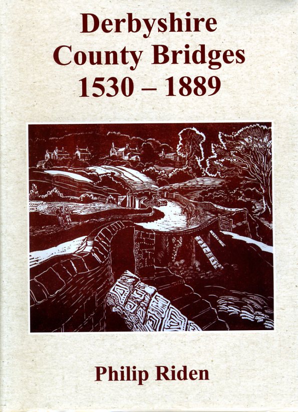
‘Derbyshire county bridges 1530-1889’ – by Philip Riden, for the Derbyshire Record Society – contains a gazetteer of 139 county bridges across Derbyshire. County bridges in the Chesterfield area included those at Stony Bridge, Hasland; Spital Bridge, Hasland; Tapton Bridge; Old River Bridge, Brimington and Whittington; Slittingmill Bridge, Eckington and Staveley and three others on the river Rother alone. On the Hipper were Walton bridge and Lordsmill Bridge. The bridges formed a very important part of the county’s transportation infrastructure – and many still do.
What were county bridges?
The Bridges Act of 1530 required the court of quarter sessions (who were local courts traditionally held at four set times during the year) to repair bridges in its particular county or borough for which no-one else was responsible. In Derbyshire the Act was applied with some vigour, so-much-so that by 1729, when the first list of bridges was compiled, the county was maintaining some sixty bridges These included ones on most of the main roads in Derbyshire. Between then and about 1840, when the railways began to remove long-distance traffic from the roads, the number of county bridges in Derbyshire roughly doubled. During this period many were rebuilt and widened, and several new bridges were erected, which remain in use today. This work was undertaken by a succession of county surveyors, who evolved from working stonemasons into professionally qualified officers. All the bridges passed to the county council on its establishment in 1889.
The county bridges book
The county bridges book, is based on bridge papers which survive from the late seventeenth century in the records of quarter sessions at Derbyshire Record Office, Matlock. Described are bridges in Derbyshire, ranging in date from the thirteenth century to the early nineteenth. All the bridges are located on a series of maps, with a representative sample illustrated in colour. A gazetteer is prefaced by a 36-page introduction outlining the work of quarter sessions under the Bridges Act of 1530 and later legislation, included are the careers of the county surveyors.
To give a flavour of the book, we’ve been able to carry an extract from its gazetteer – the entry in full for Tapton Bridge on the river Rother – below.
Local county bridges: Tapton Bridge

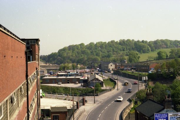
County bridges in the Brimington and Tapton area are identified as Tapton Bridge between Chesterfield and Tapton and the ‘Old River Bridge’, on the border between Brimington and Whittington – the latter is described in the extract below from the Derbyshire Record Society book.
This bridge was one of number rebuilt by the county council in the post-First World War period https://picturethepast.org.uk/image-library/image-details/poster/dccc002544/posterid/dccc002544.html has a picture of the bridge being widened.
Local county bridges: ‘Old River Bridge’
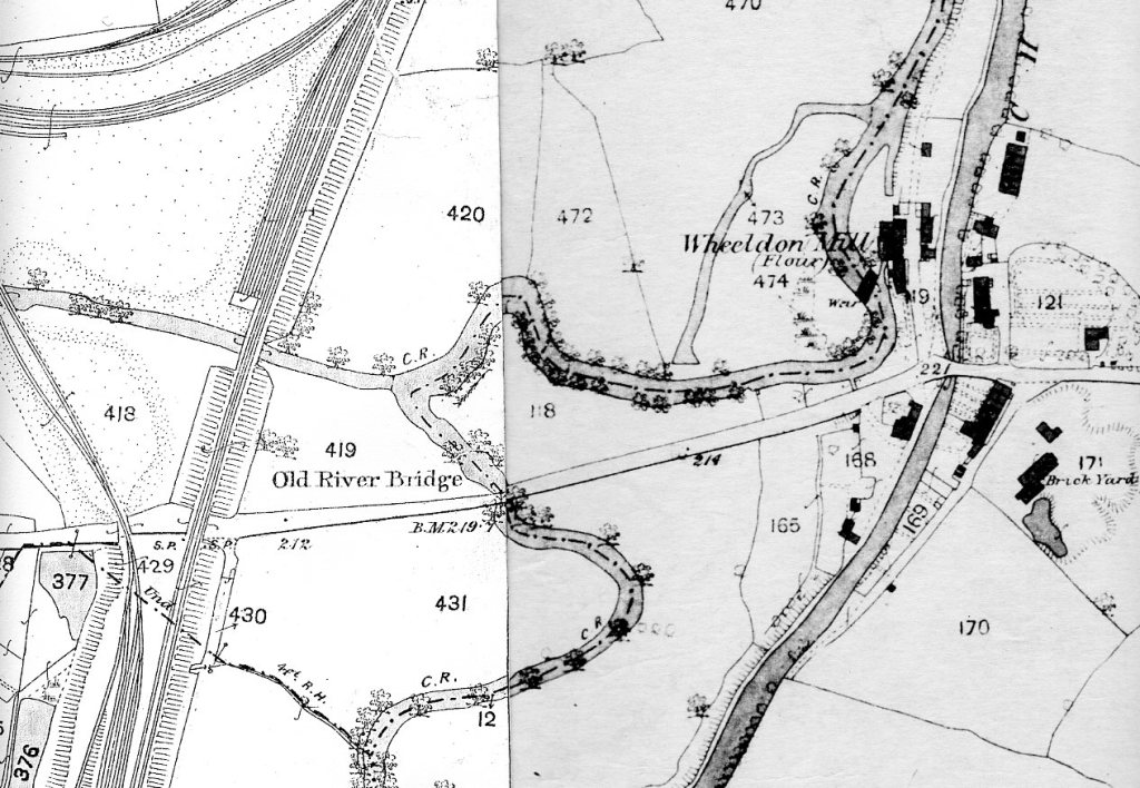
‘Old River Bridge’, like Tapton Bridge, sits on the river Rother. It was marked on the extracts from 1876 Ordnance Survey maps we have illustrated here. The bridge book’s gazetteer finds the Old River Bridge mentioned in Quarter Sessions records in March 1831. That year it was ordered to be repaired. The also notes that Burdett’s 1767 map of Derbyshire shows two roads from Brimington crossing the Rother, with a third to Brimington Mill which then ended at the river. The gazetteer entry has this as the modern Station Road, which was taken over by the Brimington, Chesterfield and High Moors turnpike trust of 1766. Philip Riden comments that ‘…the bridge [Old River Bridge] was presumably originally built by the turnpike trust.’
This area of Station Road was altered when the Manchester, Sheffield and Lincolnshire Railway (later Great Central) constructed its line from Staveley to Chesterfield and then Heath in the early 1890s. It’s most likely that the ‘Old River Bridge’ was reconstructed by the railway company at this time. The turnpike trust had been wound up in 1886 and the bridge would have become the responsibility of the county council from 1889. Despite this it’s still marked on later editions of the Ordnance Survey maps, other than that illustrated here.
There’s another blog to be written about roads in the Wheeldon Mill and Newbridge Lane area which is partly linked with the visitation of the plague to Brimington. But for now, that will have to wait for another day!
We are particularly grateful to the Derbyshire Record Society and to Philip Riden for permission to use an extract from the book ‘Derbyshire County Bridges 1530-1889’ and to use the historical description of county bridges in this blog. Copies of the book are available at £33 for non-members, (£20 for members of the Derbyshire Record Society) by downloading the order form at https://derbyshirerecordsociety.org/order.php
The Derbyshire Record Society was established in 1977. It publishes edited texts, monographs and pamphlets relating to the history of the county. Find out more about the society at https://derbyshirerecordsociety.org/index.php.
